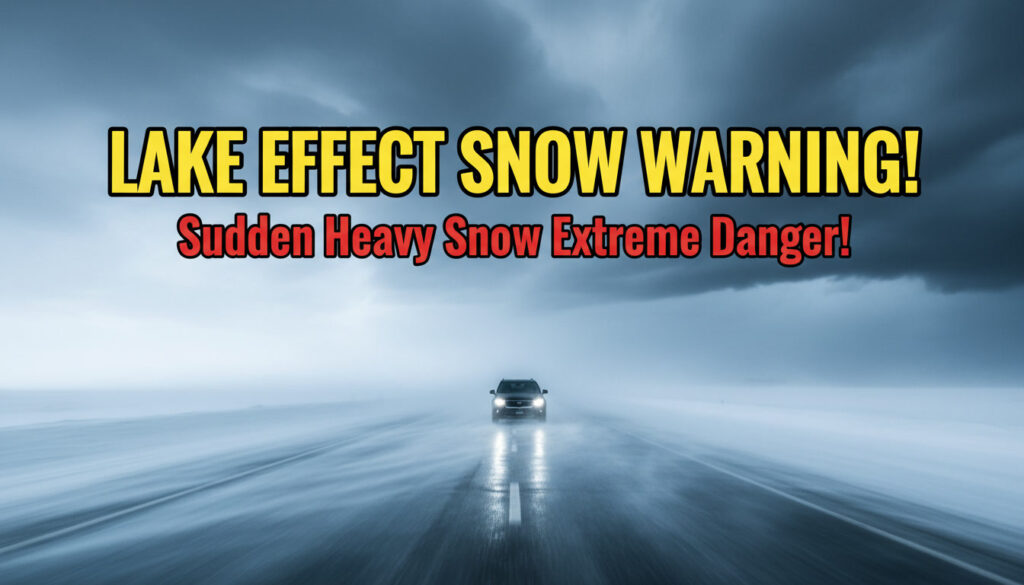
Introduction
When you live near the Great Lakes or any large inland lake, winter storms can feel unpredictable. One minute you’re driving under clear skies, and a few miles later, you’re struggling to see through a curtain of intense, wind-driven snow.
That sudden shift is the signature of Lake Effect Snow, and when conditions become dangerous, the National Weather Service issues a Lake Effect Snow Warning.
In this guide, we break down what a Lake Effect Snow Warning means, how lake effect snow forms, how it differs from regular snowfall, and—most importantly—how to stay safe.
Understanding the Lake Effect Snow Warning
A Lake Effect Snow Warning is a weather alert issued when localized but extremely heavy snowfall is expected due to cold air moving over warm lake water.
This event can produce:
- Rapid snow accumulation
- Near-zero visibility
- Intense snow bands
- Dangerous travel conditions
Learn more about winter storm warnings and how they differ.
Lake Effect Snow Meaning
Lake effect snow occurs when:
- Cold air flows over a warm lake
- Moisture evaporates
- Rising air cools
- Clouds and snow bands form
- Snow moves inland in concentrated streaks
This often causes massive snowfall in small, specific regions. Here’s a clear explanation from NOAA.
How Lake Effect Snow Forms
1. Cold Air Moves Over Warm Lakes
A major temperature difference triggers moisture evaporation.
2. Cloud Formation Begins
As moist air rises and cools, it forms dense snow clouds.
3. Snow Band Formation
Narrow, intense snow bands develop—explained well by NWS Lake Effect Meteorology.
4. Wind Direction Steers the Snow
Strong winds determine where the heaviest snow falls.
5. Heavy Localized Snowfall
One neighborhood may see 30 inches while a nearby one sees almost nothing.
Lake Effect Snow vs Snowstorm
| Feature | Lake Effect Snow | Regular Snowstorm |
|---|---|---|
| Cause | Cold air over lakes | Widespread low-pressure systems |
| Coverage | Localized narrow bands | Broad region |
| Intensity | Very intense in small zones | Moderate–heavy overall |
| Forecasting | More difficult | More predictable |
Learn more about snowstorm types on the NWS site.
What Triggers a Lake Effect Snow Warning?
Warnings are issued when:
- 6+ inches of snow expected
- Strong winds create whiteout conditions
- Snow band remains stationary
- Dangerous travel conditions likely
Check your area’s alerts on the NWS Alerts Map.
Regions Most Affected by Lake Effect Snow
Common regions include:
- Western New York (Buffalo, Watertown)
- Northern Michigan
- Ohio & Pennsylvania snow belts
- Ontario, Canada
- Japan’s Sea of Japan coastline
You can track regional snow data using NOAA’s forecast tools.
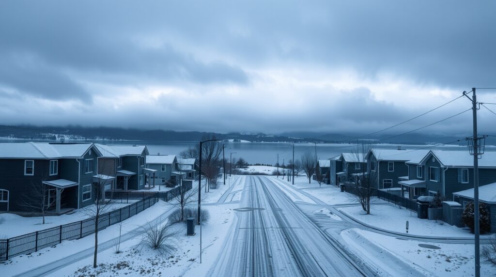
Why Lake Effect Snow Can Be Dangerous
Key dangers include:
- Instant whiteouts
- Rapid, heavy accumulation
- Icy roads
- Strong wind gusts
- Travel shutdowns
See winter travel hazards for safety guidance.
How Long Does Lake Effect Snow Last?
Depending on wind and temperature, lake effect snow can last:
- A few hours
- Multiple days (in historic events)
How Meteorologists Predict Lake Effect Snow
Meteorologists rely on:
- High-resolution models
- Lake temperature data
- Wind direction mapping
- Doppler radar
For detailed maps, visit NOAA Radar.
How to Prepare for Lake Effect Snow
1. Track Weather Alerts
- Use NOAA Weather Radio
- Check forecasts frequently
2. Prepare Your Home
- Insulate pipes
- Keep food, water & batteries
- Maintain heating sources
3. Prepare Your Vehicle
- Use winter tires
- Carry an emergency kit
- Keep gas tank full
4. Avoid Travel During Warnings
See official travel advisories for updates.
Lake Effect Snow Safety Tips
- Avoid unnecessary driving
- Keep emergency supplies ready
- Stay warm & insulated
- Shovel in layers to avoid injury
More tips: Red Cross Winter Safety.
Lake Effect Snow vs Blizzard
A blizzard requires:
- Winds over 35 mph
- Visibility under 1/4 mile
- Lasting over 3 hours
Learn the official definition here:
What Is a Blizzard? – NWS
Emergency Preparedness Checklist
✔ 3-day food supply
✔ Flashlights & batteries
✔ Warm blankets
✔ Phone chargers
✔ Backup heating
✔ Weather alert apps
Conclusion
A Lake Effect Snow Warning signals intense, localized snowfall caused by the interaction between cold air and warm lakes. Understanding how it forms and knowing how to prepare can protect you from rapid, dangerous winter weather changes.
Call to Action
Have you ever experienced lake effect snow? Share your story below!
For more weather guides, subscribe to our newsletter and stay prepared all winter long.